Description
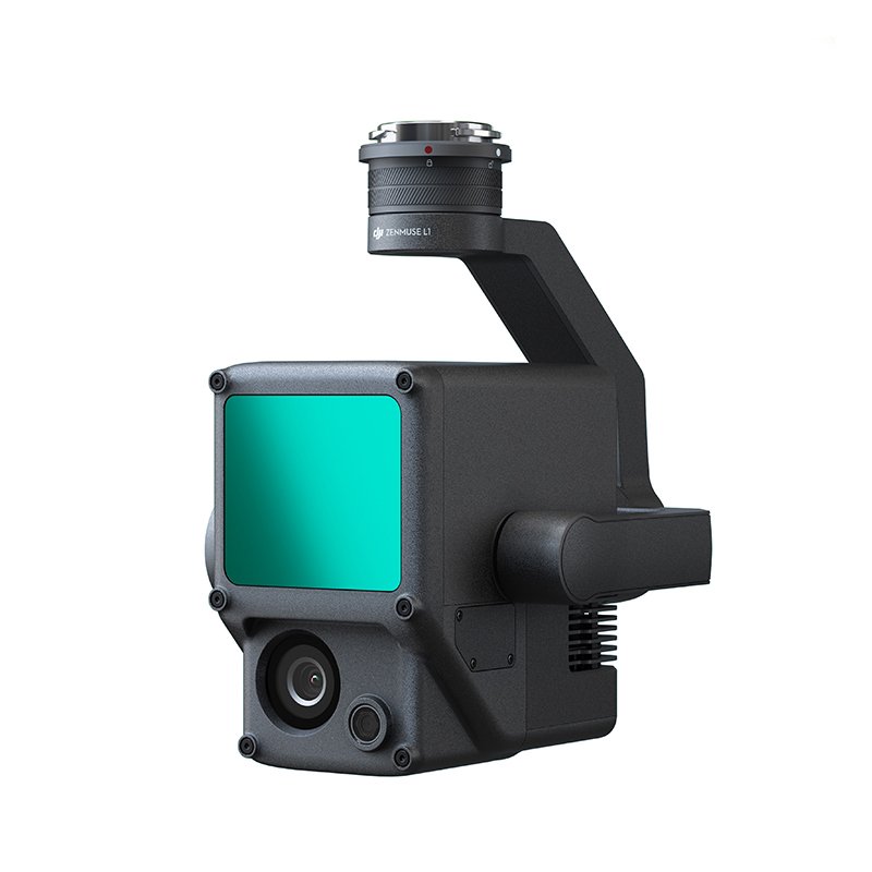
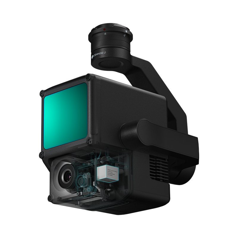
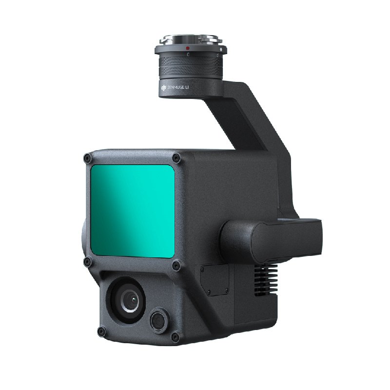
Zenmuse L1 – Instant Clarity. Superior Accuracy.
DJI Zenmuse L1 is a powerful LIDAR + RGB payload for drone survey and mapping, integrating a Livox LIDAR module with high ranging specs and wide FOV for surveying large areas, together with a high-accuracy IMU, and a survey-grade 20-megapixel 1-inch CMOS RGB camera. When used with Matrice 300 RTK drone and DJI Terra software, the Zenmuse L1 is a full solution for survey and mapping, and can be used together with any type of RTK GNSS base station to further increase the absolute accuracy of LIDAR survey data results.
Zenmuse L1 also provides real-time LIDAR data, which can be viewed during flights to quickly check the quality of the data — making drone survey and mapping operations more efficient than ever. At less than half the cost of other similar survey LIDAR cameras, the Zenmuse L1 is an absolute game changer for LIDAR survey and mapping across industries.


